Needs and Challenges
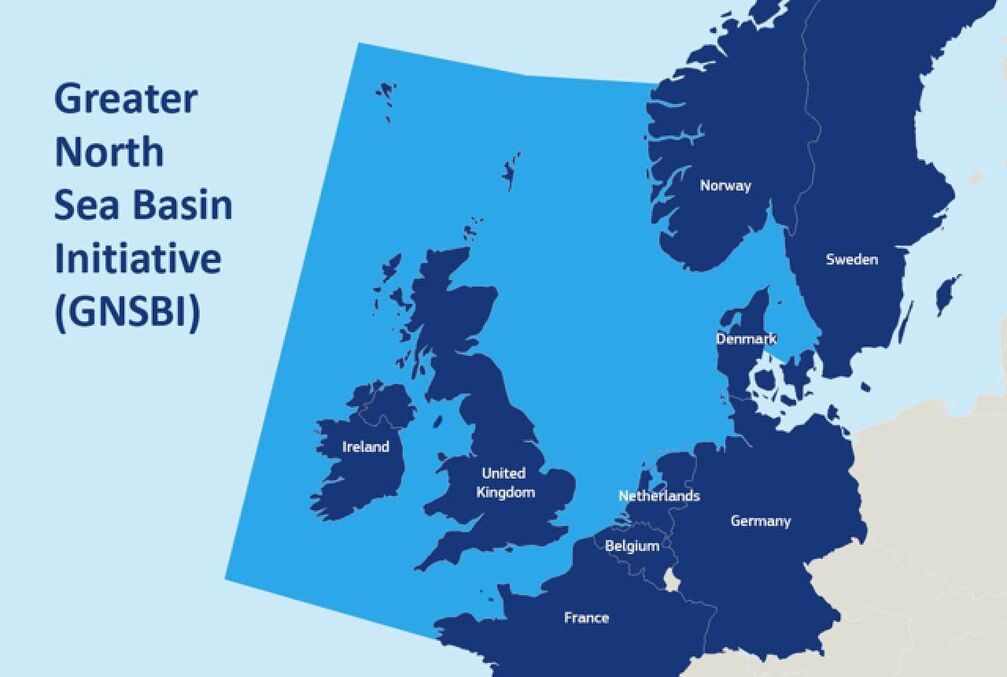
Offshore wind, shipping, aquaculture, fisheries and nature conservation compete for space in the North Sea. Planners must decide where and when activities take place to minimise conflicts and maximise benefits. Countries need a secure, neutral environment to share sensitive planning data, and the ability to simulate scenarios.
Oceanity Solution and Approach
The use case builds on the Greater North Sea Basin Initiative (GNSBI) data and knowledge sharing platform , existing North Sea models in EDITO and many 3D simulations used to train emulators. OCEANITY moves the initiative's planning data to a secure EDITO environment, develops an emulator for offshore wind farm impacts and an agent-based model for socio-ecological impacts, and uses the new scenario engine and viewers.
Data
Models & digital twin services
Tools for users
Potential Impact
Planners from nine countries can simulate cross-border scenarios before decisions.
A secure, future-proof shared environment that belongs to no single country.
More coherent, ecosystem-based maritime spatial planning across the basin.
Transferable to other countries in the initiative beyond the Netherlands and Germany.