Needs and Challenges
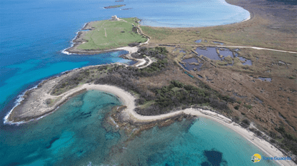
Torre Guaceto is a biodiversity hotspot with seagrass meadows and pristine coastal habitats. Managers need to understand how these habitats will respond to future climate conditions and where to target seagrass restoration, facing stressors such as marine heatwaves, storms, oil spills and underwater noise. The current visualisation tool runs offline, requires local installation and only shows temperature, sea level and wave anomalies.
Oceanity Solution and Approach
The use case builds on existing low-resolution ocean products. OCEANITY develops a dedicated high-resolution interactive monitoring tool for the MPA that integrates high-resolution models with in situ observations, including a multiparametric buoy, for model validation and continuous monitoring of the MPA, with self-explanatory risk indicators for key habitats. The tool is integrated into EDITO with data inspection and analysis tools, generates reports automatically and includes underwater noise pollution scenarios. It runs on the relocatable SURF platform.
Data
Models & digital twin services
Tools for users
Potential Impact
Managers get clear risk indicators for Posidonia oceanica and coralligenous habitats under marine heatwaves, storms, oil spills and underwater noise.
Support for climate adaptation planning and seagrass restoration.
High-resolution information dedicated to the MPA.
Easy relocation to other MPAs through SURF