Needs and Challenges
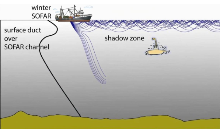
The Mediterranean Sea hosts sustained maritime traffic, and operators face compliance costs under the Mediterranean Emission Control Area and the EU Emissions Trading System. In addition, ship noise threatens marine life in protected areas.
Oceanity Solution and Approach
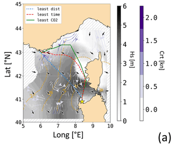
The use case builds on the open-source VISIR-2 ship routing model. OCEANITY deploys VISIR-2 across the Mediterranean Sea and couples it with an underwater noise propagation model. The resulting voyage can minimize overall CO₂ emissions and provide information about the acoustic disturbance to marine life.
Data
Models & digital twin services
Tools for users
Potential Impact
Operators can choose routes that reduce fuel use and CO₂ emissions.
MPA managers and agencies get maps of noise generated from shipping.
The modular open-source model can be relocated to other seas with low effort.